
Forty kilometers offshore, the bars vanish long before the boat reaches the first mooring. Most conversations about phones at remote dive sites jump straight to satellites. The more useful first question is plainer: where exactly is this site, where will each diver be when they come up, and who on the boat holds the device that tells the rest of the world? Get those three answers on paper and a phone becomes a genuinely useful tool. Skip them and no feature will fill the gap.
This guide covers the parts of that plan that do not change with the handset: why GPS stops at the waterline, how to mark a site with surface fixes, who owns the VHF, the beacons and the phone, and a four-line trip card that puts it all in one place.
If You Are Taking an iPhone 18 Pro Offshore
Apple announced the iPhone 18 Pro and iPhone 18 Pro Max on September 9, 2026. Apple lists the iPhone 18 Pro at 150.0 × 71.9 × 8.75 mm and the Pro Max at 163.4 × 78.0 × 8.75 mm, and both sit inside the SeaTouch 6 Pro phone envelope of up to 180.0 × 82.5 × 11.2 mm, no more than 17 mm thick at the camera module. The details are in our SeaTouch 6 Pro and iPhone 18 Pro compatibility check.
Nothing in this article depends on which phone you carry, and nothing here is a claim about the iPhone 18 Pro's satellite capability or coverage. The rules that matter offshore come from radio physics and from how maritime rescue is organized. A new handset does not change either one.

GPS Does Not Work Underwater
Say this plainly, because product copy across this category often does not. GPS does not work underwater. Satellite navigation signals are faint L-band radio, and seawater absorbs them within centimeters of the surface. No phone, in any housing, at any depth, gets a position fix once it is under. Any promise of underwater GPS from a smartphone is describing something that cannot physically happen.
The same physics covers every other radio link. Cellular calls, satellite services and Wi-Fi all end at the waterline. Underwater, the phone keeps doing everything that does not need a signal: the camera, notes, timers and offline fish identification. Navigation stays with your compass and your dive computer, a point we cover at length in why a smartphone does not replace a dive computer.
| What you want | Where it can happen | What carries it |
|---|---|---|
| Coordinates for the dive site | Surface, at the mooring or entry point | The boat's GPS or chartplotter, cross-checked with a phone fix taken on deck |
| Last-known position of a diver | Surface, the moment the diver comes up | The boat crew's fix and the time, written down |
| Heading and depth while diving | Underwater | Compass and dive computer, not a phone |
| Data leaving the water mid-dive | Underwater, via a surface relay | A purpose-built link such as the SeaLink underwater smartphone data transmitter, which carries the connection to a surface buoy |
| Distress alert from off-grid water | Surface or shore | Vessel radio and a registered beacon first; a phone as a supplemental layer |
That fourth row is the general shape of the problem. Anything that leaves the water while you are still in it goes through something floating on the surface. A phone sealed in a housing has no such path on its own, and no firmware update will give it one.
Mark the Site With Surface Fixes
Since the only reliable positions are surface positions, build the habit around them. Three fixes cover almost every dive.
- Entry fix. Before anyone kits up, record the mooring or drop point from the boat's GPS and take a second fix on your phone while it is still out on deck. Write both down with the time. Two sources that agree are worth more than one you never checked.
- Exit fix. When divers surface, the crew logs where and when. On a drift dive the pickup point can be far from the entry, and that gap is information: it tells you the current's direction and strength for the next group.
- Landmark notes. A bearing to a point of land, a reef edge, or a buoy gives a responder something to confirm visually. Coordinates without context are easy to read out wrong over a bad radio link.
Agree on one coordinate format with the skipper before the trip, either decimal degrees or degrees and decimal minutes, and use it everywhere: in your log, on the trip card, and in any message. Mixed formats are a classic source of position errors under stress.
Two smaller habits help. Download offline maps for the whole route while you still have coverage, because a phone with no signal can still show its own surface position on a map it has already saved. And treat the location tag on photos taken at depth with suspicion. The phone cannot get a fix underwater, so that tag reflects a position from before the dive, or nothing at all. For a site log, use the entry and exit fixes, not the photo metadata.
The surface position matters most when something goes wrong. A search is organized around the last place and time a diver was known to be, which is why the exit fix and the time belong on paper, not just in someone's memory.

Where the SeaTouch 6 Pro Fits
A phone sealed in a dry bag in the cabin helps nobody, and a phone in a wet BCD pocket is a phone you will be drying instead of using. The job of a housing is to keep the phone working and reachable from the giant stride to the ladder.
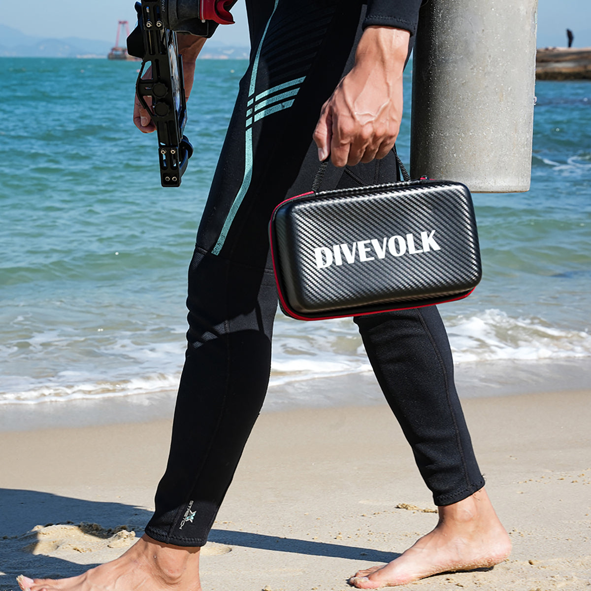
The SeaTouch 6 Pro is a button-free, full-touchscreen housing rated IPX8 to 60 meters. Every input goes through the touch membrane to the phone's own screen. The phone's volume, power and side buttons cannot be pressed once it is sealed, so any native underwater mode that disables the touchscreen must stay off inside the housing. If you want a tactile shutter for gloved hands, that is the job of the DIVEVOLK Bluetooth external shutter, not the phone's own keys.
At depth, that means the camera, notes and timers are all available. At the surface within cellular range, the phone stays usable while still sealed. A divemaster named John, pushed offshore by current with his wife near Saba, reached help using the phone inside his DIVEVOLK housing while they were still in the water, and we published the full account of that rescue.
Satellite is the deliberate exception. Apple's guidance requires a clear view of the sky and the phone held in the open, and DIVEVOLK publishes no verified test of satellite performance through a sealed housing. The rule is simple: camera in the housing, satellite out of the housing, once you are safely aboard or ashore. We cover the satellite side in detail, including where it sits in the emergency layer order, in our guide to satellite messaging and surface safety at remote dive sites.

Who Owns Which Device: VHF, PLB, EPIRB and Phone
Divers Alert Network's boat-safety equipment guidance says a dive vessel should carry more than one method of communication. It describes two-way radio as usual on dive boats, a cell phone as useful where service exists, and a satellite phone as a possible layer outside cell range. Exact equipment, channels, licensing and legal requirements vary by jurisdiction.
The equipment list is only half the answer. Each device needs a named owner, a known storage spot, and a clear job. A device that everyone assumes someone else is handling is effectively not on board.
| Device | Its job | Typical owner | What it cannot do |
|---|---|---|---|
| Marine VHF radio | Voice to nearby vessels and shore stations under local rules | Captain or a trained crew member | Reach anyone beyond radio range |
| EPIRB | Registered distress alert for the vessel | Captain, with a named backup | Describe what happened or how many people need help |
| PLB | Registered personal distress alert after separation | The individual diver or surface team that carries it | Work underwater, or replace visual and audible signals |
| Satellite phone or vessel terminal | Remote voice coordination outside cell range | Captain or communications lead | Replace a registered beacon for distress alerting |
| Personal phone | Site coordinates, offline maps, photos, check-ins, and supplemental emergency text where supported | Each diver, for their own device | Broadcast to nearby vessels or act as a float-free beacon |
NOAA's guide to 406 MHz emergency distress beacons distinguishes vessel EPIRBs from person-carried PLBs and stresses registration, which is what turns an alert into a name, a vessel and a contact list. A Return Link Service indication means an alert was received and forwarded, not that a rescue has launched. Treat a delivered phone message the same way: receipt is not outcome.

Six Questions for the Operator Before You Book
- What is the primary vessel-to-shore emergency communication method for the entire route?
- What independent backup remains if the primary device or the boat's electrical system fails?
- Does the vessel carry a correctly registered EPIRB, and who is trained and authorized to activate it?
- How does the crew record dive-site coordinates and each diver's surfacing position and time?
- What is the written missing-diver, injury and evacuation plan, and when was it last practiced?
- How will the crew reach rescue coordination and medical support from the most remote point of the trip?
Answers will differ by country, vessel and route. You are looking for assigned roles, independent layers, maintained equipment, current registrations and a plan that has been rehearsed. Our liveaboard safety checklist covers the wider vessel conversation, and the missing-diver lessons from Pulau Redang show how much time the surface phase can cost when nobody owns the escalation.
Build a Four-Line Trip Card
Put the plan on one card that fits in a dry pouch and lives with the dive log. At the top, write the site name, the entry fix, the agreed coordinate format and the local emergency number. Then fill four lines, each with a device, an owner and a storage location:
- Vessel primary: the route-wide communication layer, usually the VHF, and the trained person who operates it.
- Vessel backup and distress: the independent backup, such as a satellite phone, plus the registered EPIRB and who is authorized to activate it.
- Personal separation layer: the PLB or other purpose-built surface device, the SMB and whistle, and which diver or team carries them.
- Routine check-in: the method, the contact ashore, the agreed time, and what a missed check-in should trigger.
A filled-in card turns "someone will call" into a name, a device and a minute on the clock. Brief it before anyone enters the water, and update the exit fix and time on it after every dive.
Satellite Texting Is a Supporting Layer
Current eligible iPhones offer satellite functions for when cellular and Wi-Fi are unavailable. Apple's Emergency SOS via satellite instructions describe a text-based emergency flow and tell users to try the local emergency number first. Apple's Find My via satellite guide describes a user-initiated location update, no more than once every 15 minutes, that only works if location sharing was set up before you left coverage. It is a periodic position note, not a live trail.
All of these need the surface or shore, a clear view of the sky and horizon per Apple's satellite connection guidance, and eligibility for your exact phone, region, carrier and destination. Check Apple's live pages before the trip, practice with Apple's connection demo in open terrain, and never activate Emergency SOS or a beacon as a test. On the trip card, the phone belongs on the routine check-in line and as a backup to the distress layers, never as the only one.
Physics First, Then the Phone
No satellite service, no cellular call and no GPS fix reaches a diver underwater. That is not a product shortcoming waiting for a fix. It is the physics of radio in seawater, and it is the reason purpose-built layers and written roles exist.
Within those limits, a phone in a SeaTouch 6 Pro earns its place: it shoots at depth, stays usable at the surface, and carries your site log, offline maps and coordinates. Mark the site from the surface, give every device an owner, fill the trip card, and verify service rules close to departure. Start with the scuba diving safety essentials, and check the current manual and compatibility list for your exact handset through DIVEVOLK technical support.